Description:
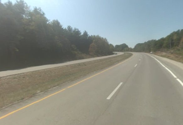
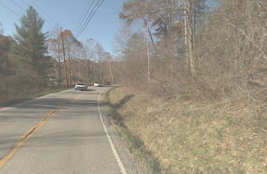
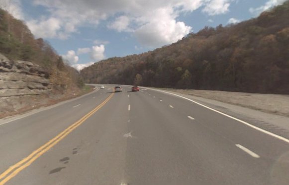
Nice twists and turns through the eastern Kentucky countryside. With the added bonus of Daniel Boone National Forest.
Rating:
Distance:
Approx. 300 miles
Route:
1. Head east on I-64 E toward Exit 87
2. Take exit 98 to merge onto Mountain Pkwy E toward Campton/Prestonsburg
3. Continue on KY-114
4. Head east toward US-23 S/US-460
5. Merge onto US-23 S/US-460
6. Take the ramp to KY-80/KY Route 80
7. Turn right at KY-80/KY Route 80
8. Continue on Daniel Boone Pkwy/Hal Rogers Pkwy
9. Head west on Daniel Boone Pkwy/Hal Rogers Pkwy
10. Take exit 34 for KY-66
11. Keep left at the fork, follow signs for ONEIDA
12. Turn left at KY-66
13. Turn left at KY-66/River St
14. Continue straight onto KY-11
15. Turn right at US-421
16. Turn right at US-421 N
17. Turn right at McKee Rd/US-421
18. Slight left toward Berea Rd/US-25
19. Turn right at Berea Rd/US-25
20. Turn right at N 2nd St/KY-388
21. Turn left at Boonesboro Rd/KY-388
22. Turn right at Boonesborough Rd/KY-627
23. Turn right at Ford Rd/KY-1924
24. Turn right at Athens Boonesboro Rd/KY-418
25. Turn right to merge onto I-75 N toward Cincinnati
Gas:
Lexington - Prestonsburg
Submitted by:
Patrick L on August 8, 2009, 5:22 pm
Comments
Login to leave a comment about this ride.\